 BPN-TRACK
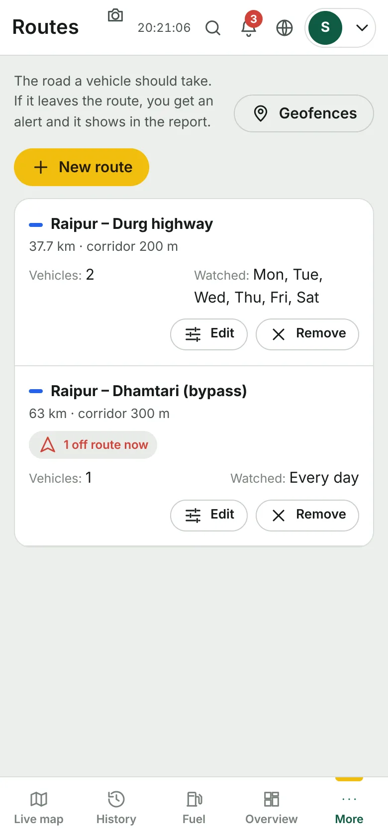
Routes: the road a vehicle should take, and an alert when it leaves it
Draw a route once, choose the vehicles and the hours, and get an alert the moment one leaves the corridor -- and a report of every deviation.
How to
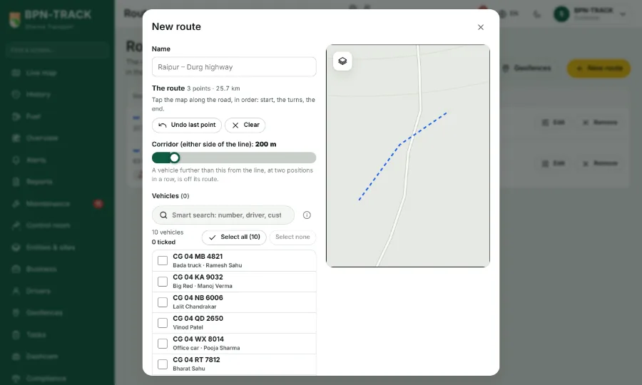
- Open Geofences and tap Routes, then New route.
- Tap the map to place the points of the road (Undo removes the last one); set how wide the corridor is.
- Choose the vehicles or a vehicle group, the days and the hours it applies.
- Or open a trip in History and tap "Make a route from this trip".
- When a vehicle leaves the route you get a Route deviation alert; the Live map draws the route red, the card shows Off route, History shows the stretch in red, and the Route deviations report lists every one.